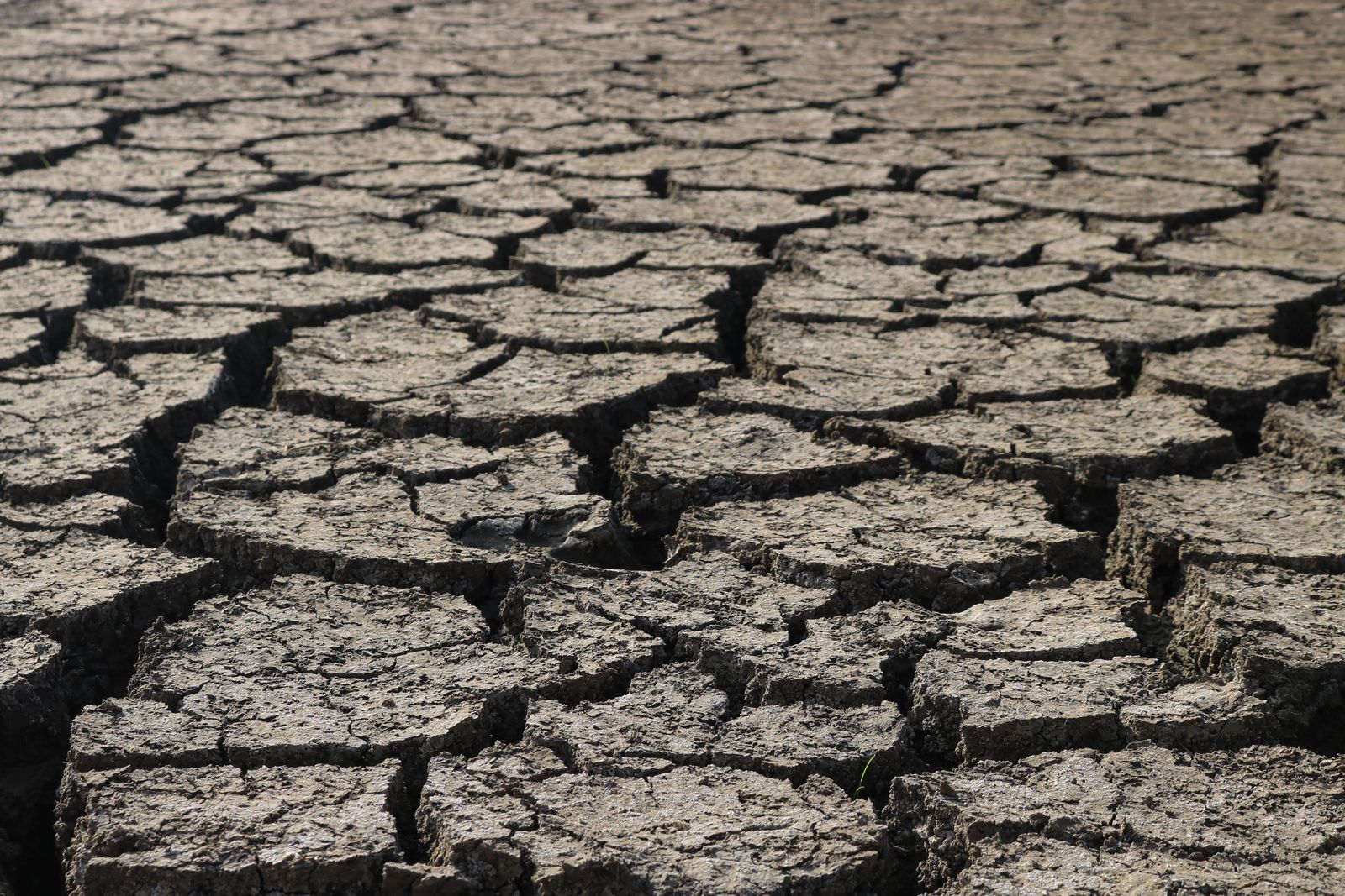
Photo: Cracked, dry earth, by Feyza Daştan via Pexels.
The warnings are getting louder. Forecasters now say this year's El Niño is on course to be among the strongest ever measured, and some headlines have already called it the worst in history. The more useful question for Zimbabwe is a different one: strong in the Pacific is not the same as devastating in the Mazowe valley or in Beitbridge, so what will it actually do here, and who gets hit hardest?
Strongest on record is not the same as worst
The science is not in doubt about the size of the event. The UN's humanitarian coordination office OCHA, citing NOAA's Climate Prediction Center, says the El Niño is forecast to persist from July 2026 to March 2027, with a better than 90 per cent chance of reaching "very strong" intensity. NPR reports it is already the strongest ever measured for this time of year, running more than 2 degrees Celsius above average in the Pacific.
But strength is a measure of ocean temperature, not of how much rain falls on your field. NPR quotes the climate scientist Daniel Vimont saying forecasters are "loading the dice" rather than guaranteeing an outcome, and that natural variation can still mask the signal. OCHA makes the same point: strong El Niños have been linked to below-normal rainfall in Southern Africa about 80 per cent of the time, which also means about one time in five they have not. What decides the damage, it says, is the combination of rainfall deficits and heat, not the El Niño label alone.
So "worst in history" is a fair description of the forecast ceiling and an unproven claim about the outcome. The number to watch is OCHA's 70 per cent chance that October to December deficits in Zimbabwe and its neighbours will beat those of any El Niño year since 1950.
The "ten year cycle" does not really exist
Many Zimbabweans grew up hearing that a big drought arrives roughly every ten years. The record does not support a fixed clock. The Zimbabwe Meteorological Services Department lists the major droughts since 1990 as 1991/92, 1997/98, 2015/16 and 2023/24, which means gaps of about 6, 18 and 8 years. El Niño itself returns irregularly, every two to seven years.
If anything, the gaps are shrinking. Agriculture Permanent Secretary Prof Obert Jiri told a June planning meeting in Harare that El Niño now occurs every three to four years, compared with five to seven in the 1980s, according to Farm Future Africa. The MSD's own view is that climate change has increased both the frequency and the severity of droughts here.
What is different this time
It lands in the worst possible months. OCHA notes the peak will coincide with the October to April rainy season, meaning planting and the critical grain-filling weeks. Climate Brief Zimbabwe reports the outlook is for below-normal rain from October to December, getting worse from January to March.
It follows 2024 closely. The 2023/24 drought was declared a national disaster in April 2024 and, according to Jiri, cost an estimated US$607 million in lost maize and more than 44,000 cattle. Humanitarian estimates put that harvest at about 700,000 tonnes against a requirement of 2.2 million.
The cushion is bigger, with a catch. Government confirmed a 2.82 million tonne maize harvest for 2025/26 in June, the largest on record, and says it can build a pre-season reserve of about 851,000 tonnes, according to Equity Axis. Lake Kariba is far healthier than a year ago, which helps power. Government is also targeting a 450,000 tonne strategic grain reserve before the dry months in April 2027 and has moved from emergency response to early action, including groundwater monitoring and drought-mitigation hubs in 635 high-risk wards.
The catch is trust in the numbers. Down To Earth reported in December 2025 that last season's announced harvest of 2.3 million tonnes was cut to 1.8 million after a post-harvest survey, while a USDA estimate was nearer 1.3 million, and that an import ban based on the higher figure left millers short. That does not mean this year's figure is wrong, but it is a reason to judge preparedness by what is in the silos, not what is in the press release.
Costs are already high. OCHA says oil is up 37 per cent and urea 115 per cent since the end of 2025, which squeezes farmers before a single seed goes in the ground. FEWS NET adds that fuel rose 5 to 7 per cent in September.
Who will feel it most
Inside Zimbabwe, FEWS NET expects Crisis (IPC Phase 3) food insecurity from October through at least January in Matabeleland North and South, Masvingo, parts of Manicaland and the Midlands, and the extreme north, driven by used-up household stocks and weak market access. Retail maize in those deficit areas was already about double the price in surplus areas in August. Some 2.23 million cattle face a feed shortfall of 233,000 tonnes by the 2027/28 lean season.
The people most exposed are rain-fed smallholders, livestock keepers and the poorer urban households who feel any jump in maize and transport costs. Across the region, OCHA ranks Madagascar, Malawi and Mozambique as "very high concern" and Zimbabwe, Zambia and Angola as "high concern", and finds the strongest historical link between El Niño and rainfall deficits in Zimbabwe, south-central Mozambique, southern Malawi and southern Zambia. Not everywhere loses: East Africa's Horn typically gets flooding rains instead.
What to watch
Three things will show how this plays out: when the first useful rains arrive after the early October storms (the MSD has said those are not planting rains), whether dry spells hit in December and January, and whether grain imports, which the USDA expects to reach about 600,000 tonnes, move early enough to hold prices down. For households, the advice from government and its partners is plain: prepare Pfumvudza plots early, store grain and fodder, and do not sell the whole harvest.
Sources
- Southern Africa 2026 El Niño Preparedness Alert, OCHA
- Forecast El Niño-related below average rainfall likely to impact livelihoods and markets, FEWS NET
- Southern Africa faces hotter, drier 2026/27 rainy season driven by strong El Niño, Climate Brief Zimbabwe
- Zimbabwe Races To Prepare Farmers For 2026/27 Super El Niño Season, Farm Future Africa
- Super El Niño is here. What's so super about it?, NPR via MPR News
- Drought Occurrence in Zimbabwe, Zimbabwe Meteorological Services Department
- False data: Zimbabwe's bumper maize harvest that never was, Down To Earth
- Zimbabwe's $93.9 Million Maize-Import Saving Is Already at Risk from El Niño, Ecofin Agency
- A Historic First: Zimbabwe Confirms Highest Maize Harvest in National History, Equity Axis
- Zimbabwe: Drought, April 2024, ReliefWeb
- Lake Kariba weekly levels, Zambezi River Authority